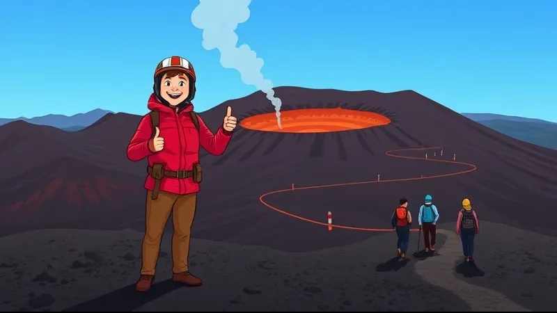
Etna safety: what to check before choosing a hike
Plan an Etna hike with current access rules, mountain weather, equipment and realistic walking requirements. Monitoring and a guide cannot remove every risk.
Table of Contents
The question to ask before booking
The useful question is not whether Etna is simply “safe” or “dangerous”, but which route is appropriate for your group under the conditions on the day. Volcanic activity, altitude, weather and uneven ground all matter. My role as a volcanological guide is to assess and manage a particular excursion, not to promise advance warning of every event.
Who decides where visitors can go?
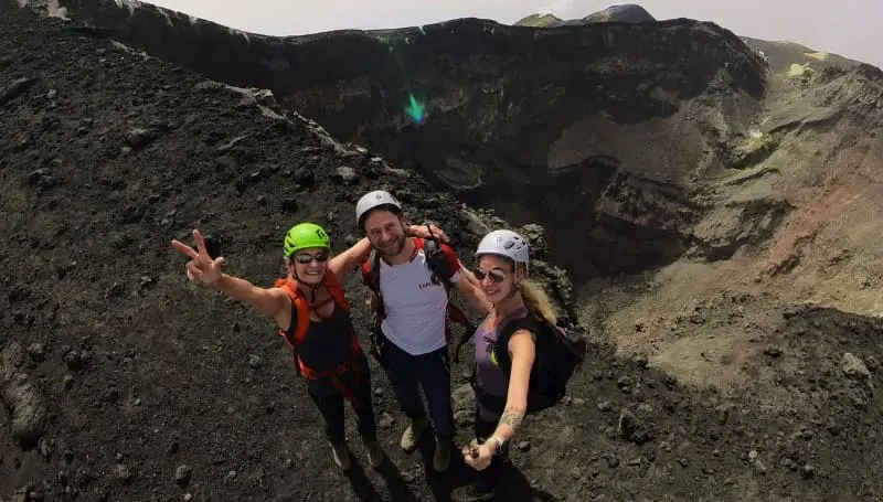
Read the current official restrictions for the relevant sector and date. A cable-car ticket, a marked path or an old article does not establish permission to continue higher. Fixed figures such as 2,500 m are not permanent legal boundaries for the whole volcano. Restrictions can affect lower areas too, and having a guide does not override a closure.
Monitoring is not an access permit
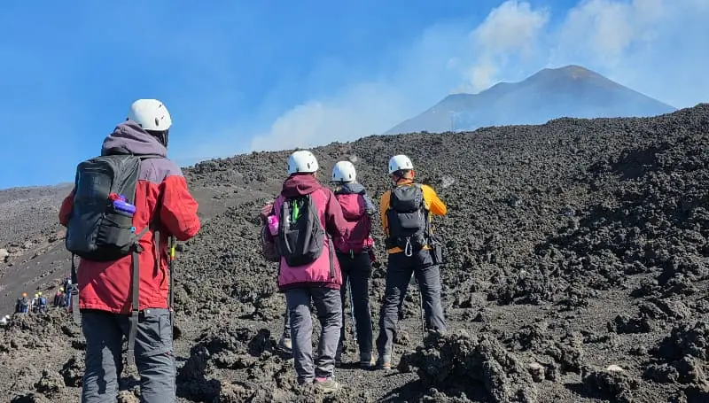
INGV publishes scientific observations and bulletins; Protezione Civile declares volcanic alert levels in coordination with the Sicilian authorities. Aviation colour codes serve a different purpose from walking access rules. Some phenomena can occur suddenly, even at a low alert level. Neither low tremor nor a clear webcam image guarantees a quiet excursion.
Prepare for the route, not the coastal forecast
Check wind and gusts, visibility, storms, snow and ice at the intended altitude. Do not calculate the mountain temperature from a beach reading alone. Follow the equipment list on the chosen tour page: footwear, layers, water and sun protection need to suit the programme. The helmet is included on my summit tour; clothing and other equipment are not supplied as a general package.
Health, children and walking effort
Fitness helps with effort but does not prevent altitude illness. Discuss relevant medical conditions, pregnancy or uncertainty about suitability with your clinician before booking. My minimum ages are 5 for Sartorius, 6 for Cable Car & 4x4 and 12 for Summit Craters. These are booking limits, not medical clearance. Report symptoms or difficulty promptly and do not continue ascending when unwell.
Know the programme and the costs
The summit programme starts at Piano Provenzana in the north and lasts about five hours including 4x4 transport. The southern Cable Car & 4x4 tour lasts about three hours with roughly 90 minutes of walking and reaches around 2,900 m when conditions permit. Private guide fees for up to six people are €500 plus €50 per person for the summit transport, €300 plus €82 per person for cable-car transport, and €250 for Sartorius. Check each page for inclusions and payment details; reach the meeting point in your rental car.
If the planned route cannot go ahead
A booking-calendar slot does not forecast future conditions. Where conditions prevent the booked route, you can choose a practicable alternative, another date or a full refund. Follow the guide’s instructions promptly if conditions change during the excursion. Personal insurance is not included and is not required for my tours; other operators may set different conditions.
Choose a specific excursion
Compare the three current private excursions by terrain, walking, altitude and meeting point. Use the weather page and official information for planning. There is no promise of active lava, a particular summit altitude or elimination of volcanic risk.
Sources
Before You Book: Quick Planning Checklist
- Check updated weather and volcanic activity conditions for your travel dates.
- Check the mountain meeting point and the departure time in the calendar. Travel independently with your rental car; no transfer is provided.
- Compare routes, practical details and availability, then use the booking calendar on your chosen tour page.
- Read local safety guidance before excursions.