Mount Etna geology: reading lava, craters and the landscape
Understand Etna’s geological evolution, flank eruptions and the Valle del Bove through INGV research and features visible on a volcanic walk.
Table of Contents
A landscape built in several phases
Etna is a basaltic stratovolcano on Sicily’s eastern coast. Its geological history extends back roughly half a million years, but that does not mean a single cone has erupted continuously for all that time. Earlier volcanic centres, changes in where magma reached the surface, growth and collapse helped produce the mountain seen today.
Why magma reaches the surface here
The regional setting includes the interaction of the African and Eurasian plates, but “two plates collide” is not a complete explanation of Etna. INGV research examines local fault systems and zones where the crust opens, allowing magma to rise. This complex setting should not be reduced to a simple, settled hotspot label.
From early volcanism to the present mountain
INGV’s geological reconstruction distinguishes early basaltic activity, the Timpe phase, centres in the area now occupied by the Valle del Bove, and the later stratovolcano phase. Some early eruptions occurred underwater; the pillow lavas at Aci Castello are evidence of that environment. These places explain geological history, without being additional stops sold as part of my Etna tours.
The Valle del Bove: collapse, erosion and later lava
The Valle del Bove was not created simply by lava flowing across the mountain. Flank collapses and subsequent erosion formed a large depression, later partly covered by younger lava. A multidisciplinary INGV study dates the first collapse to between 7478 and 7134 BCE. That finding concerns the beginning of a complex process, not a single event that created every part of today’s valley.
Summit activity and flank eruptions
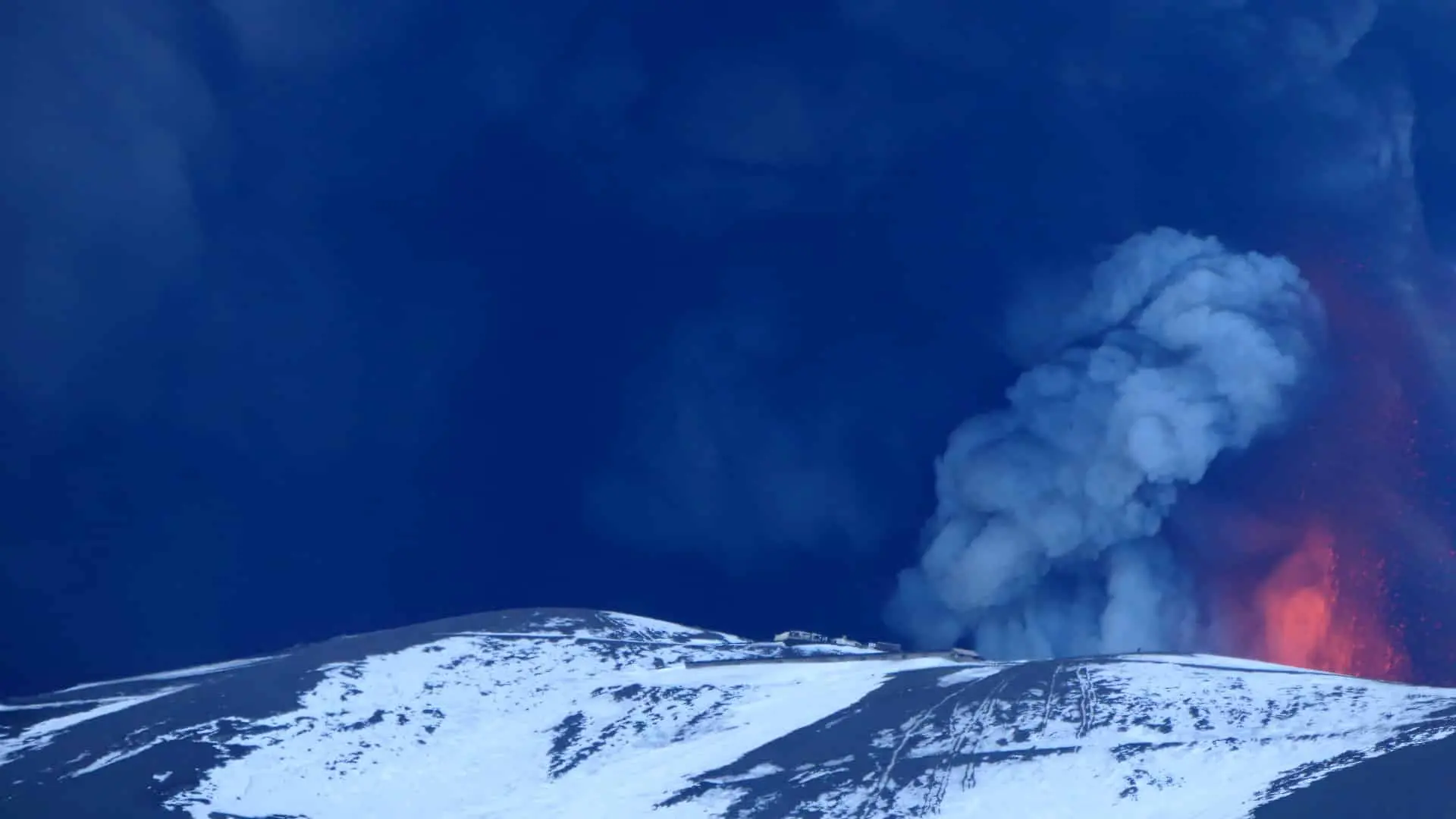
Magma may emerge from summit vents or from fissures on the flanks. Lava effusion and explosive activity can occur within the same eruptive episode; calling an eruption only “effusive” can hide part of its behaviour. Summit cones grow and collapse, so an altitude measured in a past year is not automatically today’s highest point.
What to look for on a walk
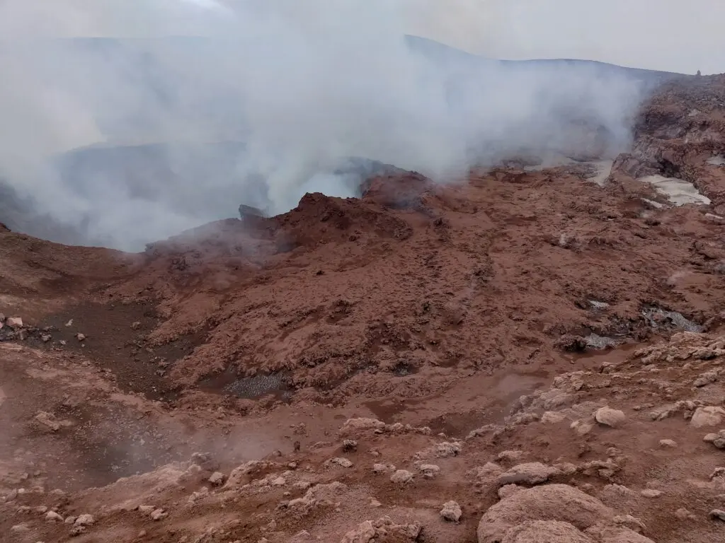
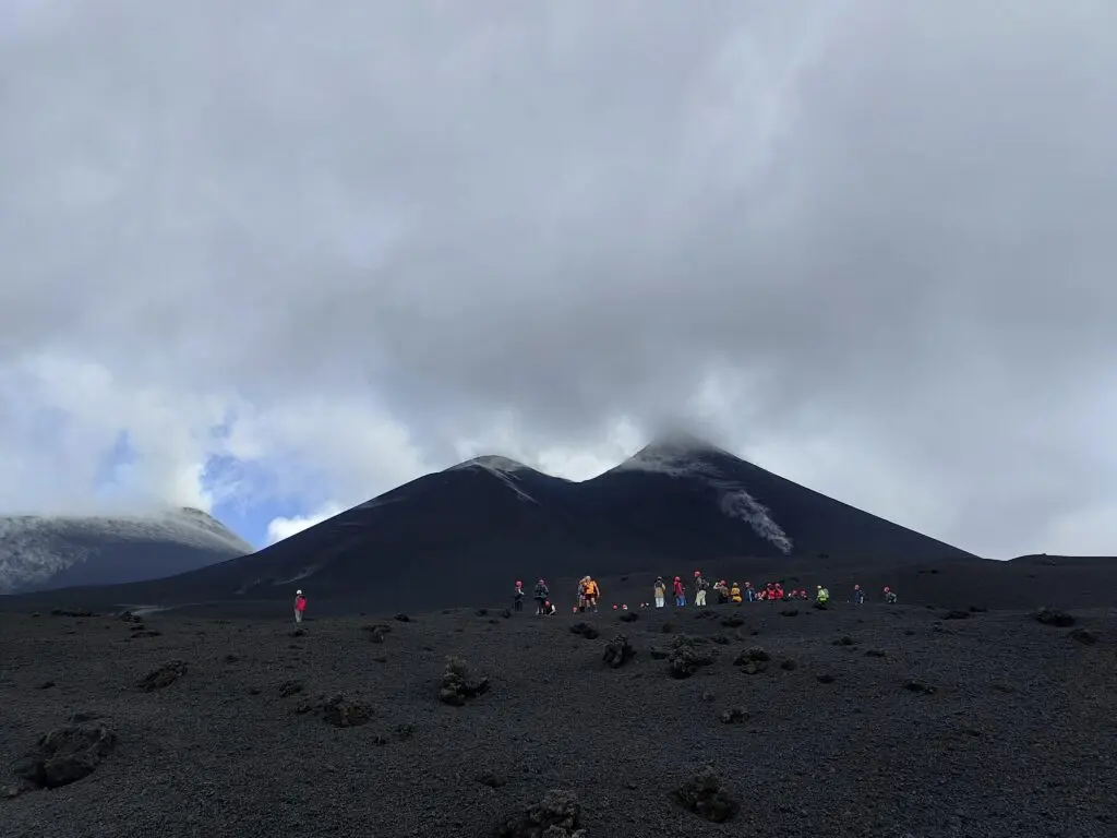
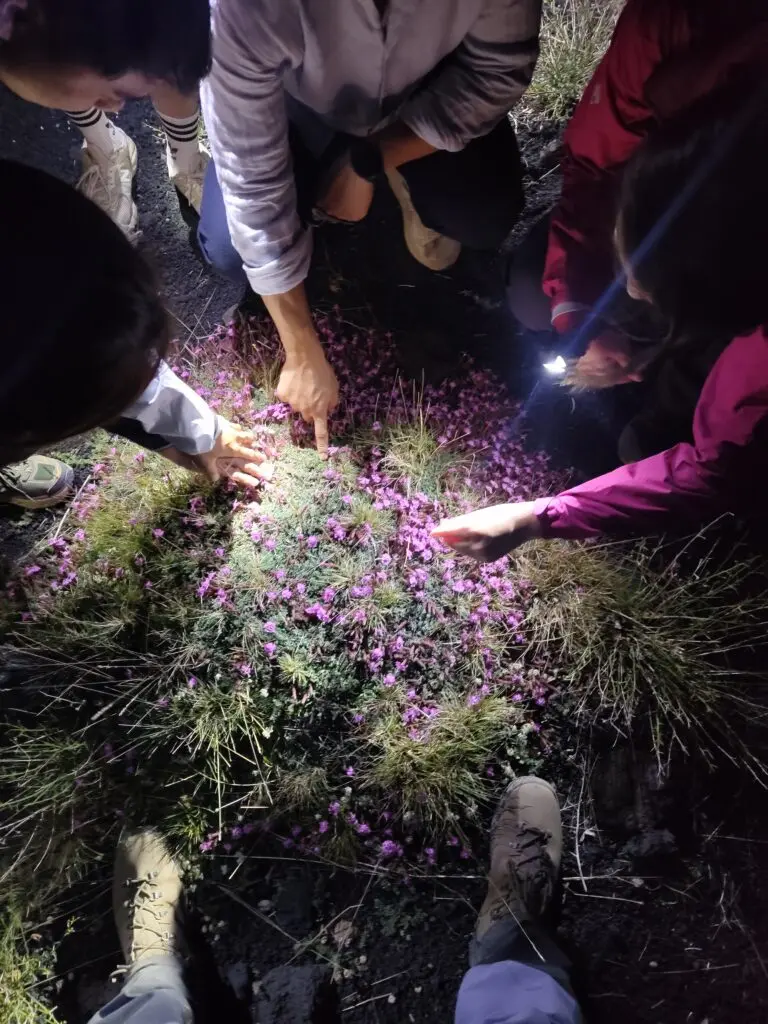
Compare rough and smoother lava surfaces, loose scoria, crater rims and the relationship between vegetation and different substrates. Dark colour alone does not date a flow or show that it is active. A precise attribution to an eruption needs geological mapping or a documented local identification, not resemblance to a photograph.
Science, hazards and access
INGV combines observations from several monitoring systems. Understanding a process and monitoring it do not guarantee advance warning of every event. Lava, gas, ash, unstable ground and weather can affect an outing; current restrictions determine access. Do not enter a closed area or a lava cavity to inspect a feature described here.
Choose the landscape you want to understand
The three private excursions offer different settings: Sartorius cones, the southern cable-car programme or the northern summit trek. Each keeps its own walking requirements and access limits. Stay on permitted routes, leave rocks and plants in place and take litter away. The guiding fee is not a donation to a conservation project.
Sources
Before You Book: Quick Planning Checklist
- Check updated weather and volcanic activity conditions for your travel dates.
- Check the mountain meeting point and the departure time in the calendar. Travel independently with your rental car; no transfer is provided.
- Compare routes, practical details and availability, then use the booking calendar on your chosen tour page.
- Read local safety guidance before excursions.