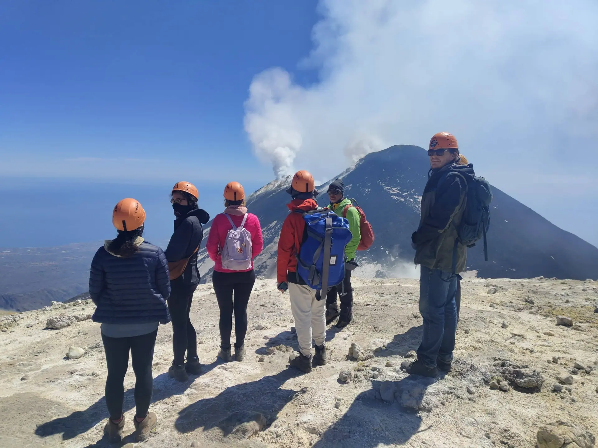
Summiting Etna: planning the day from arrival to descent
Prepare for a guided Etna ascent: the northern meeting point, 4x4 approach, walking, changing access and the return. Summit height and views are conditional.
Table of Contents
Begin with the booked route
The word “summit” can hide very different itineraries. My summit-crater excursion starts at Piano Provenzana in the north and lasts about five hours in total, including the indicated 4x4 transport. A description of the southern cable car must not be used as directions for this booking. Read the current tour programme before organising the journey.
Before leaving your accommodation
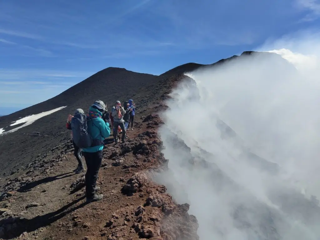
Check the confirmed meeting point and departure time, travel route, mountain weather and the guide’s latest instructions. Arrive in your rental car with the listed equipment. A helmet is included on this excursion; it is protective equipment, not a ticket to a priority queue. Other clothing and gear remain your responsibility.
The approach and start of the walk
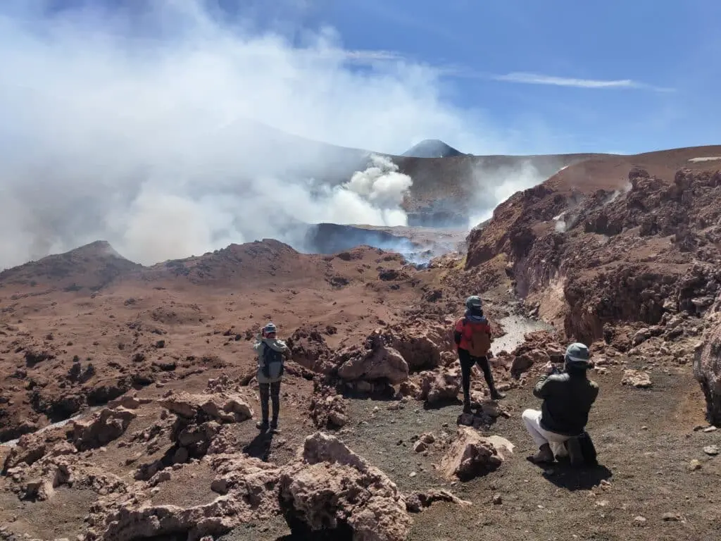
The 4x4 is transport for the published northern programme, not a private jeep safari. Conditions and operating decisions affect where the walking section starts. Follow the guide’s briefing on pace, terrain and the route rather than expecting an identical sequence of landmarks every day.

Walking through the upper volcanic landscape
Loose scoria, lava surfaces and exposed ground make balance and foot placement relevant on ascent and descent. Observe crater forms and rock textures from the agreed route. Gas, heat, sounds or a particular view are not guaranteed features of the visit, and visible emissions are not proof of harmlessness.
Reaching the permitted upper point
The programme aims for the summit-crater area around 3,300 m when allowed, not a guaranteed highest summit. Restrictions, volcanic activity, weather and the group can change the route or maximum altitude. A closure cannot be overridden by a guide, ticket or strong fitness.
Health and the descent
The minimum age is twelve, but suitability also depends on preparation and health. Good fitness does not prevent altitude illness. Report headache, nausea, unusual breathlessness or other discomfort promptly and stop ascending if unwell. Keep enough attention and energy for the descent; reaching the upper point is not the end of the outing.
When the plan changes
The guide fee is €500 per private group up to six, plus €50 per person for the listed transport. If conditions prevent the booked route, choose a practicable alternative, another date or full refund. The guide manages the excursion within current conditions, without guaranteeing safety, active lava or clear views. Keep to permitted paths and take your litter back.
Sources
Before You Book: Quick Planning Checklist
- Check updated weather and volcanic activity conditions for your travel dates.
- Check the mountain meeting point and the departure time in the calendar. Travel independently with your rental car; no transfer is provided.
- Compare routes, practical details and availability, then use the booking calendar on your chosen tour page.
- Read local safety guidance before excursions.